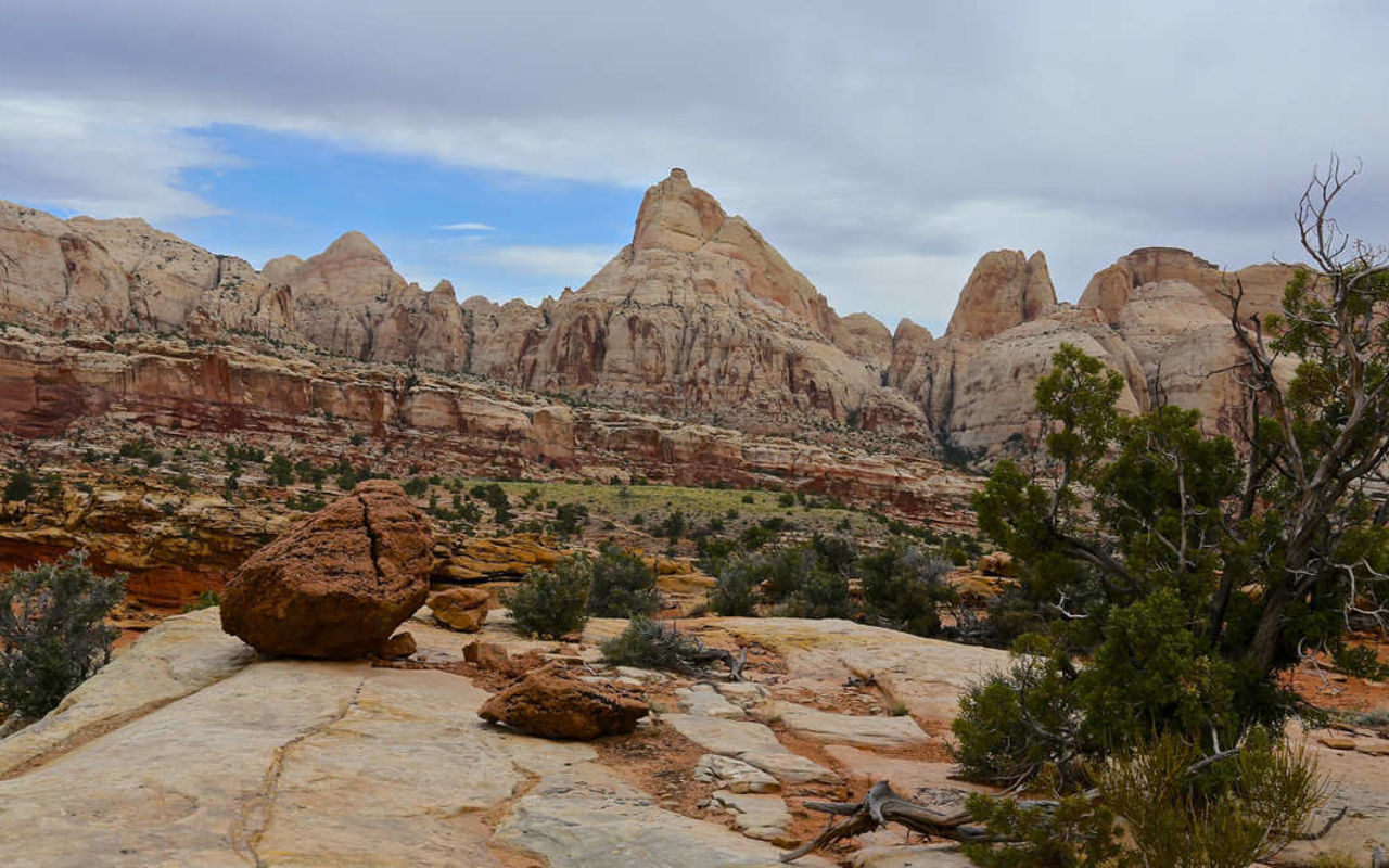
Frying Pan Trail
The Frying Pan Trail in Capitol Reef National Park takes visitors from the head of Grand Wash and the Cassidy Arch Trail, across the Waterpocket Fold, and down into the Fremont River Canyon, along Highway 24. The trail treks right across the top of the Fold rather than cutting its way through it like the majority of the park’s other trails.
Trail Head: 38.255895, -111.232806
Trail Type: Hiking
Length: 4.41 miles one way
Difficulty: Moderate
Hikers will need a vehicle to shuttle them back to the beginning of the trail unless they are willing to turn around at the end and hike back.
GRAND WASH SOUTHWEST TRAILHEAD
The Frying Pan Trail begins toward the south end of Grand Wash, on the Cassidy Arch Trail. The southwest end of Grand Gulch opens up to the Scenic Drive along the west end of the Waterpocket Fold.
CASSIDY ARCH TRAILHEAD
The Cassidy Arch trailhead is situated a few hundred yards up the Grand Wash trail, giving hikers a small taste of the wash’s famous depths along the way.
FRYING PAN TRAIL
The junction with Cassidy Arch Trail provides hikers with the time and the desire the chance to explore some of the rest of the Waterpocket Fold. Cassidy Arch is an exceptionally beautiful arch, high above the Scenic Road and Grand Wash, and the trail leads to a viewpoint directly above the arch.
COHAB CANYON TRAIL
Frying Pan Trail drops into Cohab Canyon just north of the scenic spur trails that ascend from the canyon bottom to the north-facing ridge above Fruita. From there, Frying Pan follows the Cohab Canyon Trail down to Highway 24.
COHAB CANYON NORTHEAST TRAILHEAD
The end of the trail is on the south side of Highway 24, just below the Hickman Bridge Trailhead. Unless hikers are willing to hike back atop the Waterpocket Fold for a total of 8.82 miles, or are intent on going another route back, such as by the Cohab Canyon Trail, they will need a shuttle vehicle to pick them up at the northeast end of the trail.
