Mount Peale Trail
Trail Head: 38.41824, -109.24553
Trail Type: Hiking
Length: 6 miles roundtrip
Location: La Sal Mountains
Difficulty: Strenuous
Elevation Change: 2,580 feet
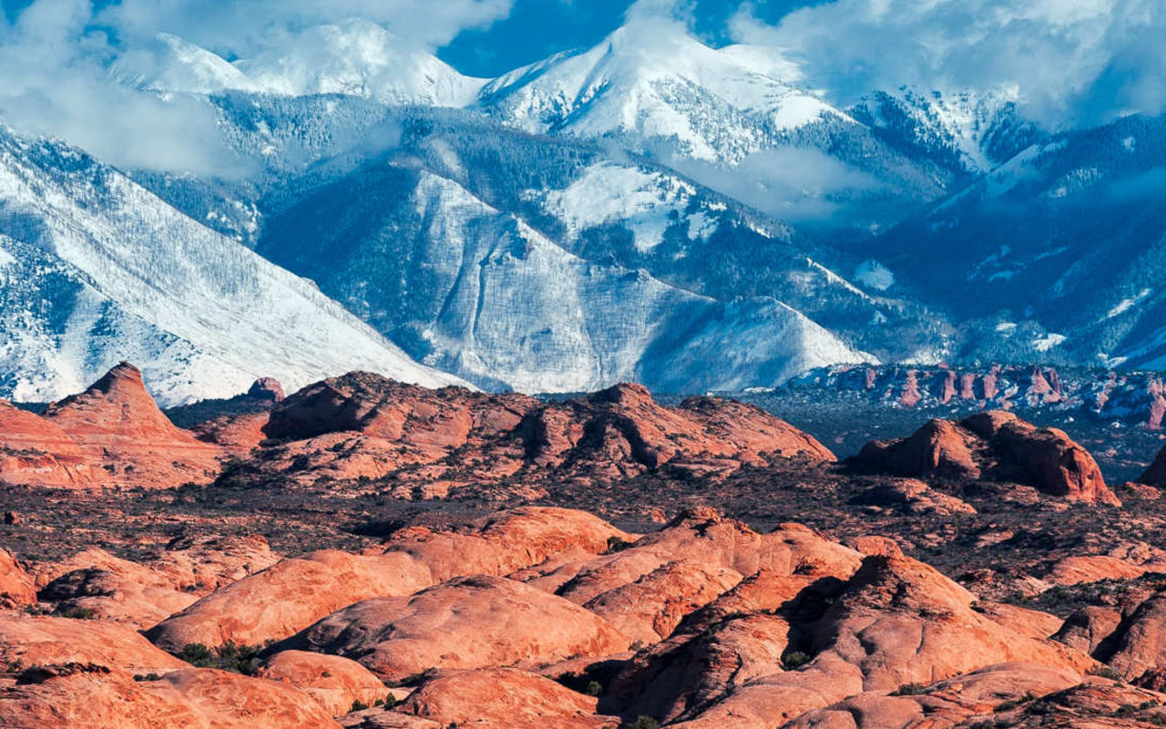
The best part about hiking Mount Peale? There aren’t a lot of people hiking it and you’ll get a myriad of fantastic views from Moab and Arches to Canyonlands and Dead Horse Point. The worst part about hiking it? There’s no real established trail, so it requires some good route finding skills. It’s also considered to be a more strenuous hike. If you’re good with all of those things, read on.
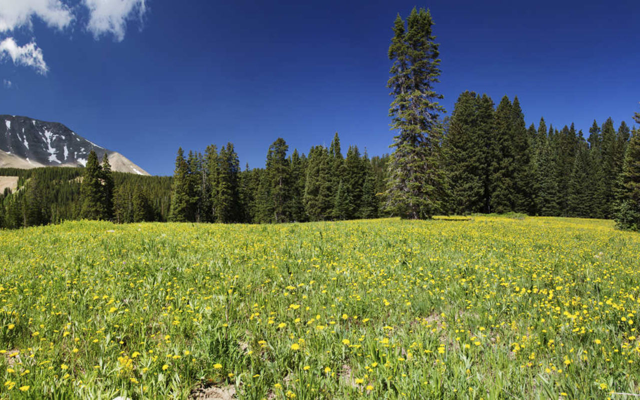
The trailhead is found at the top of La Sal Pass. There you’ll see a sign for Mount Peale, but the trail is actually marked Burlfriends Trail. This is the most popular way up, along the south face. You’ll pass through a grassy meadow first, then on through a pine and conifer forest. You’ll encounter some loose rock and rock fields along the way. As this is a pretty high summit (12,721 ft), you’ll want to be prepared with extra layers for changes in weather. It is also very exposed in places. Dogs are allowed on this trail.
Mount Peale Trail | Photo Gallery


Mount Peale Trail