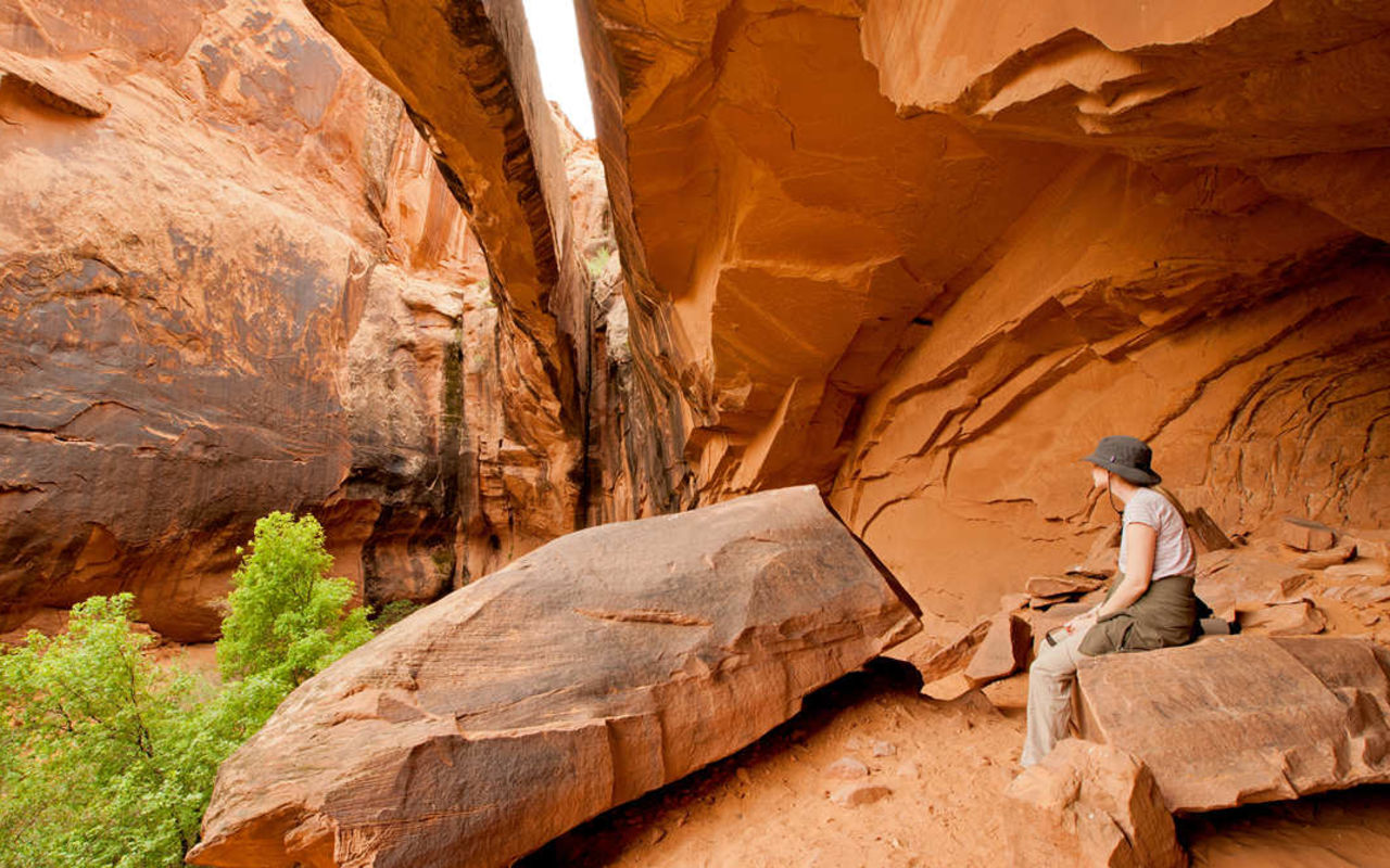
Morning Glory Bridge Trail
This Moab-area hike ascends a beautiful, narrow canyon to a scenic natural bridge. A small stream flows between the sheer sandstone walls, creating a lush desert oasis with a wide assortment of plant and animal life. You have to cross the stream in a couple places and most people just wade through, so wear appropriate footwear. (Getting wet is part of the fun of this hike.)
Minor scrambling is required to get through rocky areas, but nothing very intense. This is a great hike for children.
Trailhead
(38.6099, -109.534)
The hike begins from the unsigned parking area at the mouth of Negro Bill Canyon, along Hwy 128 about 3.1 miles east of its junction with U.S. 191. Pay attention to your odometer so you don't miss the canyon.
Second Side Canyon
(38.5976, -109.514)
The natural bridge is in the second side canyon, about 1.5 miles from the trailhead. A sign at the mouth of the side canyon marks it as the route to Morning Glory Bridge, but the sign is easy to miss unless you are paying attention.
Morning Glory Bridge
(38.5939, -109.509)
Morning Glory Natural Bridge is located at the end of this side canyon, on the right. You've got to push through some thick brush to get there. The bridge has a span of 243 feet, making it the sixth longest natural rock span in the United States. It is an impressive sight.
You can continue hiking up this canyon for several more miles. The entire canyon is scenic. When you approach your limit, just hike back the way you came in.
Morning Glory Bridge Trail | Photo Gallery

Morning Glory Bridge Trail