Hiking Utah Mountains
There are many hikes outside Logan in northern Utah. One pleasant walk is the 1-mile Limber Pine Trail loop at the summit of Logan Canyon overlooking Bear Lake. An autumn 3/4-mile hike to Coldwater Lake near Mendon often lures hikers farther up the trail through the red maples and golden aspen into the dense forests of the Wellsville Wilderness. The trail steeply ascends 3 more miles to Stewart Pass, the backbone of the Wellsville Range, with views of Utah, Idaho and Nevada. From here, it is not difficult to conquer Wellsville Cone. The 4.5-mile hike to White Pine Lake from Tony Grove Lake in Logan Canyon is popular. Several trailheads lead into the Mt. Naomi Wilderness Area.
The Skyline Trailhead at the summit of North Ogden Pass, 5 miles east of North Ogden, offers several hikes including a 9-mile trek to the 9,712-foot summit of Ben Lomond Peak. The Pineview Trailhead leads to a 22-mile hike ending in Willard Basin. Hiking trails are scattered through the Wasatch-Cache National Forest in Davis County.
Devil's Castle In Millcreek Canyon, east of Salt Lake City, there are many popular hiking trails. The Brighton Lakes Trail at the top of Big Cottonwood Canyon east of Salt Lake City starts behind the Mt. Majestic Lodge and ascends 2.5 miles to Lake Mary, Lake Martha and Lake Catherine. For more hardy hikers this trail continues to 10,200-foot Catherine Pass and then drops into Albion Basin above Alta Ski Resort in Little Cottonwood Canyon. In Little Cottonwood Canyon, the Red Pine/White Pine trails offer a glimpse of Utah's remarkable Lone Peak Wilderness Area, where mountain goats may occasionally be spotted. Several interpretive trails are near completion in Big and Little Cottonwood Canyons. All new trails will be handicapped accessible.
The 15-mile hike to the 11,788-foot summit of Mt. Timpanogos, east of the Provo Valley, passes stunning Emerald Lake and offers panoramic scenes. It begins from North Fork in Provo Canyon or Timpooneke Campground in American Fork Canyon.
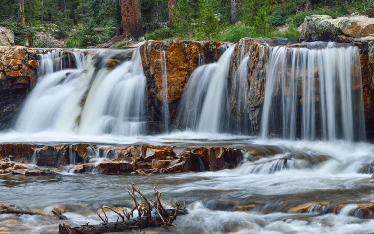
Provo River Falls Trial Lake and Mirror Lake, 27 and 35 miles east of Kamas respectively, have many trailheads leading to Uinta Mountain lakes and peaks. The Little South Fork of the Provo River off U-35 above Woodland has scenic hiking. Hikers enjoy walking portions of the 28-mile Historic Union Pacific Rail Trail from Park City to Echo Reservoir.
The Uinta Mountains are considered by many to be Utah's backpacking and hiking paradise. Among the many popular routes into the High Uintas Wilderness and Utah's highest peaks are the Uinta Canyon trailhead below U-Bar Ranch 18 miles north of Neola, and Lake Fork or Swift Creek trailheads north of Mountain Home. North of Hanna are the West Granddaddy Lakes trails near Defa's Dude Ranch or the East Granddaddy Lakes trail above Rock Creek Resort. Snow stays on these high mountain trails through June.
Beginning at Jones Hole Fish Hatchery, about 40 miles northeast of Vernal, is an impressive day hike through Jones Hole to the creek's confluence with the Green River in Dinosaur National Monument. Ancient Indian rock art may be seen along the trail.
Trails leading from Castle Valley over the Wasatch Plateau to Sanpete Valley include Fish Creek National Recreation Trail west of Scofield.
Utah Mountains | Photo Gallery


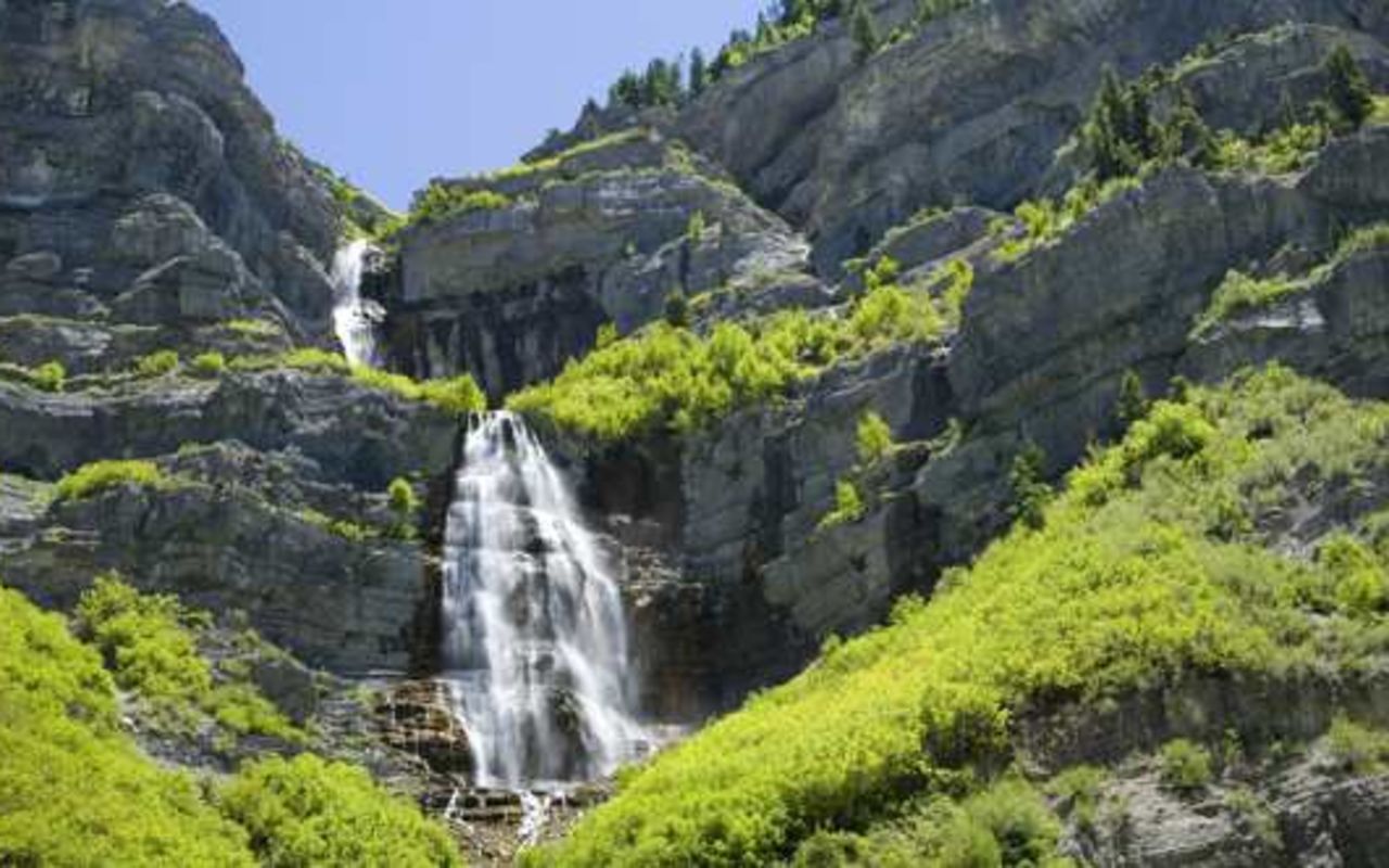
Utah Mountains Waterfall
Articles
View AllThe Hiker's Code
Utah has some of the best hiking trails in the world. Here are some rules and guidelines you should ...
10 Best Easy Hikes in Utah
Utah's mountains and deserts create some of the world's best hiking areas. Read this list to find th...
Top 5 Wildflower Hikes in Utah
Find the best hikes and areas to view wildflowers in Utah this summer. Read on to see the best five ...
Top 10 Waterfall Hikes in Utah
Utah's mountains are home to beautiful waterfalls. Take a look at our list of the top 10 waterfall h...
Dog-Friendly Hiking Trails Near Salt Lake City
Find the best hiking trails near Salt Lake City that allow dogs. Discover beautiful hiking areas tha...