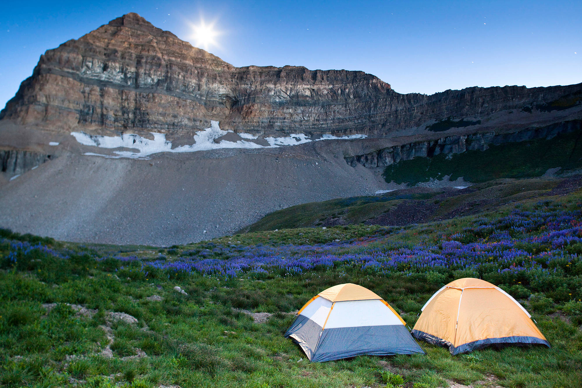
Top 5 Overnight Backpacking Trails in Utah
There’s probably about 15,678 scientific research studies that prove that nature is the best medicine (Sorry, laughter. Nature might have you beat.) Life gets crazy busy, and the first thing to go is usually something that seems like too much planning and effort — don’t let backpacking slip through your keyboard-tired fingers. Go. Just go. Camping overnight is totally doable.
Also, LEAVE NO TRACE. When you head out anywhere, please, pretty, pretty, pretty please, try not to love these places to death. Here’s a quick list of seven LNT principles:
- Plan Ahead and Prepare: Know regulations, prepare for weather hazards, avoid high times of use, visit in small groups, use a map and don’t build cairns.
- Travel and Camp on Durable Surfaces: Established trails and campsites, rock, gravel, dry grasses or snow, camp at least 200 feet from lakes and streams, walk single file in the middle of the trail, keep campsites small.
- Dispose of Waste Properly: Pack it in, pack it out, deposit solid human waste in catholes 6-8 inches deep — 200 feet from water, pack out toilet paper and other hygiene products, wash dishes with biodegradable soap 200 feet from water.
- Leave What You Find: Do not touch or take cultural or historical artifacts, leave rocks and plants as you find them, do not build structures or dig trenches.
- Minimize Campfire Impacts: Use a lightweight stove for cooking, use fire rings where fires are permitted, keep fires small, only use sticks from the ground, burn all wood and coals to ash, put out fires completely, scatter cool ashes.
- Respect Wildlife: Observe wildlife from a distance, never feed animals, store rations and trash securely, control pets at all times.
- Be Considerate of Other Visitors: Be courteous, yield to other users on the trail, avoid loud voices and noises.
5. White Pine Lake
AREA: Greater Salt Lake | Little Cottonwood Canyon LENGTH: 5 miles to the lake ELEVATION GAIN: 2,696 feet DIFFICULTY: Strenuous
Thank you, Salt Lake City, for being born right next to some of the most magnificent mountains in the whole wide world. Because it takes just 30 minutes from downtown to get to the White Pine Trailhead. Perfect for an overnight getaway from the routine in our big little city.
The trail starts out wide and easy. The incline increases once you pass the river junction where you can either take a right to Red Pine Lake, or continue left up some switchbacks up to White Pine Lake. Steep enough to get your heart pumping, and a good excuse to stop and rest and hydrate.
The lake itself will give you an awe-some perspective. You’ll take in alpine scenery and majestic mountains. Read More...
4. Ibantik Lake
AREA: Uinta Mountains LENGTH: 4.2 miles to the lake ELEVATION GAIN: 590 feet DIFFICULTY: Moderate
The Uintas are less crowded, but take a little more time to get to from the big city.
The trailhead is located just off Mirror Lake Highway (east of Kamas). When you get to Trial Lake, exit west onto a paved road. You’ll drive for about a mile until you see a fork in the road, then turn north for another mile to get to the trailhead.
Enjoy passing lakes and smaller ponds on your way into Ibantik. Seriously, enjoy it.
3. Mount Timpanogos
AREA: Utah Valley | Provo or American Fork Canyon LENGTH: From Aspen Grove to Summit: 8 miles one way, Camp: ¾ way to Emerald Lake (6.5 miles to the lake) | From Timpooneke Road: Summit: 7.5 miles one way, Camp: just as you enter the basin at about 10,000 feet ELEVATION GAIN: 4,580 feet DIFFICULTY: Strenuous
Girls and boys start hiking this amazing peak around age ten. It’s strenuous, but doable. Either trail will take most of the day to hike in. Take advantage of grand view for photo ops and to catch your breath. Read More...
2. Zion National Park's West Rim Trail
AREA: Zion National Park LENGTH: 14.5 miles one way ELEVATION GAIN: 2,510 feet DIFFICULTY: Moderate
You’ll basically be absorbed into Zion’s sheer-cliff sandstone beauties, summit Angels Landing, and continue on to more undeniably gorgeous views. Your breath will catch over and over again as you come into contact with a grand western landscape. Read More...
1. Neon Canyon and Golden Cathedral
AREA: Grand Staircase-Escalante LENGTH: 9.2 miles ELEVATION GAIN: 1,260 feet DIFFICULTY: moderate
The Grand Staircase-Escalante National Monument is one of the nation’s remotest and interesting landscapes. Canyons, washes and epic night skies draw adventurers here with a magnetic pull no one can resist once they’ve been here for the first time. You’ll want to come back and explore until the day you die.
Neon Canyon and Golden Cathedral require some technical know-how and gear. You’ll need ropes for rappelling and, depending on the time of year, you might want dry suits. CHECK THE WEATHER REPORT when going into canyon country. Flash floods are for real, and they’re devastating. Read More...