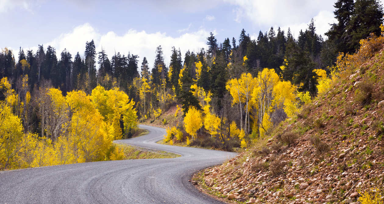
5 Under the Radar Scenic Drives
Instagram is a rat race. In the winter you’re supposed to post a pic of your adorrrrrrrrrrable family skiing, like four days a week. In the spring you show off the first buds in your teak planter boxes, aka your “peace garden.” In the summer: Family pics in the wildflowers on Mt. Timpanogos. In formalwear. With perfect hair.
And then there’s fall. Ugh. Don’t even get us started. If you haven’t posted some stunning #nofilter selfie of yourself volunteering with a group that teaches refugees how to take selfies of themselves — in the absolute height of fall color — you might as well not even show up for Christmas.
But hey, who are we to blow against the wind? Rather than fighting the vanity-singularity of the most monetizeable social media platform, Utah.com is here to help you be the best at it with five fall foliage thoroughfares your followers have never even heard of. Watch the leaves get as turnt as your comment section in these under-the-radar autumnal oases.
Vernal — Red Cloud Loop
Lots of yellow clouds, orange clouds and evergreen clouds, too.
- Location: Near Vernal, Utah
- Mileage: 48 miles
- Duration: About 2 hours, 45 minutes one way
- Seasons: Spring, summer, fall
- Features: Canyons, Uinta Mountains/Forest, wildlife, petroglyphs
- Driving Directions: Take either US-40 or UT-191 until you get to UT-121. Head west to Maeser, then head north for 3 miles on 3500 West Street until it becomes a canyon.
Castle Valley — Indian Canyon & Nine Mile Canyon
Plan on seeing these on three different days. It’s unsafe to take in that much visual stimulation all at once.
Indian Canyon
- Location: Hwy 191 north of Price from Helper to Duchesne
- Mileage: 47 miles
- Duration: 1-1.5 hours
- Seasons: Driveable year-round, but fall is exceptionally beautiful
- Features: Price River, cliff formations, wildlife, mountain and meadow vistas, alpine forests, fall colors
- Driving Directions
Nine Mile Canyon
- Location: 20 miles north of Wellington, Utah
- Mileage: 40 miles
- Duration: 1 hour
- Seasons: Driveable year-round
- Features: Petrolgyphs, rock art, shelters, granaries, cliff ledges, pinnacles, mesas
Driving Directions: From Wellington, take Route 6/191 east about 7.5 miles to the turn-off for Soldier Creek Road going northeast. It becomes Nine Mile Road.
Farmington Canyon/Skyline Drive
The crowds thin the higher you go up the dirt roads. Great if you like looking down on everything.
- Location: Farmington, Utah
- Mileage: 24 miles
- Duration: 2 hours
- Seasons: Late spring, summer, early fall. Road closes Nov. 1 and reopens May 31.
- Features: Mountains, alpine forest, Francis Peak, wildlife, campgrounds, fall colors
- Driving Directions: The route begins in Farmington on 100 East by going north. From Bountiful, head for the "B" on the mountainside and travel east on 400 North to 1300 East and then go north into Ward Canyon Road.
Monticello — Harts Draw Road
A gentle climb into the Abajo Mountains. Bike it for a healthier hart.
- Location: Monticello, Utah
- Mileage: 42 miles
- Duration: 1.5 hours
- Seasons: Driveable year-round
- Features: Abajo Mountains, forests, lakes, wildlife, campgrounds, fall colors
- Driving Directions: Access Hart’s Draw Road from 200 South in Monticello (Right beside the Welcome Center), or from Hwy 211 (The road that leads to the Needles District of Canyonlands National Park) just a few miles before reaching Newspaper Rock.
Dixie National Forest — Cedar Breaks to Brian Head
Are the colors actually brighter at 9,800 feet or is that just altitude sickness?
- Location: Cedar Breaks National Monument
- Mileage: 7 miles
- Duration: 30 minutes
- Seasons: Late spring, summer, fall. Road closes in Winter.
- Features: Rock formations such as hoodoos, spires, and craggy peaks, wildflowers, fall colors
- Driving Directions: The byway begins at Highway 14 and ends where Highway 143, the Brian Head-Panguitch Lake Scenic Byway, begins.